


Chakraberia – the Dihi that was older than Calcutta

It all started in 1717 when the erstwhile East India Company obtained the right to rent from 38 villages surrounding their settlement along the banks of the Hooghly from the Mughal emperor Farrukhsiyar. Of these, five villages lay across the Hooghly in what is present-day Howrah. The remaining 33 villages were on the Calcutta side. After the fall of Siraj-ud-daulah, the last independent Nawab of Bengal, the East India Company purchased these villages in 1758 from Mir Jafar and reorganised them as per their need and trade routes. These villages were known en-bloc as Dihi Panchannagram. But the two most prominent among them were Dihi Bhowanipore and Dihi Chakraberia.
Bhowanipore existed as a dihi in 1765 and was added to it as a part of Dihi Chakraberia. The construction of Harish Mukherjee Road and Lansdowne Road (now Sarat Bose Road) and the extension of Hazra Road to Kalighat, opened up the area at the beginning of the 20th century. Artisans played a role in developing the neighbourhood and making it a populous native place. The kansaris (braziers), the shankharis (conch workers), and the telis (oil pressers) --- all developed their own areas, and accordingly, they were named. Along with them, many eminent lawyers came to settle in the Chakraberia locality, as the Sadar Diwani Adalat, or the highest appellate court had shifted to the old Military Hospital Building in this region, and the District Judge’s Court was set up in Alipore, close to Bhowanipore.

In 1888, one of the 25 newly organized police section houses was also located in the area. What was interesting is how Chakraberia and adjoining Bhowanipore became the seat of the Bengal Renaissance in the 19th century. In the first half of the 20th century, “in the milieu of relative urban prosperity...Calcutta’s rich citizens – those connected with jute, coal, tea, other industries, trade, money-lending, and rentier income from urban property – did fabulously well for themselves.” These people who also were culturally active settled in several mansions of Bhowanipore and Alipore where an elite community came up, far from the dingy lanes of North Calcutta.
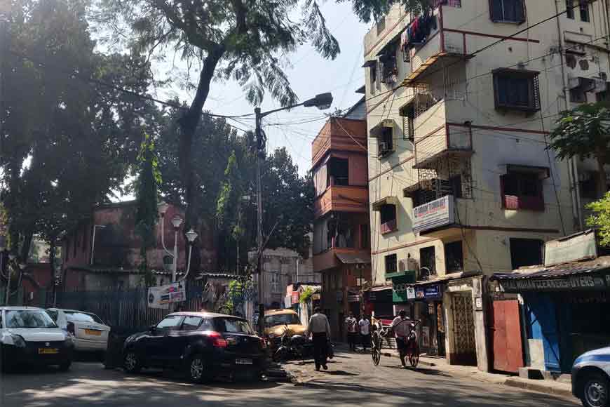
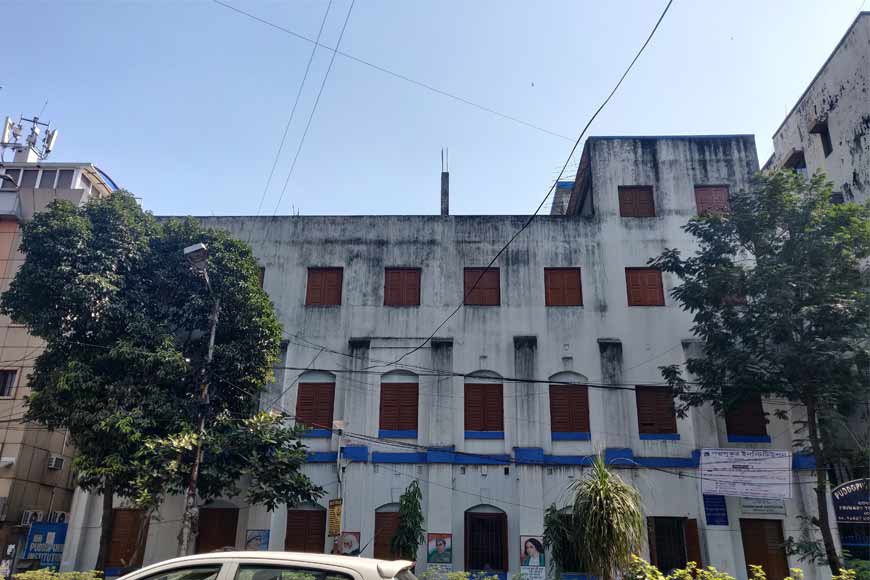
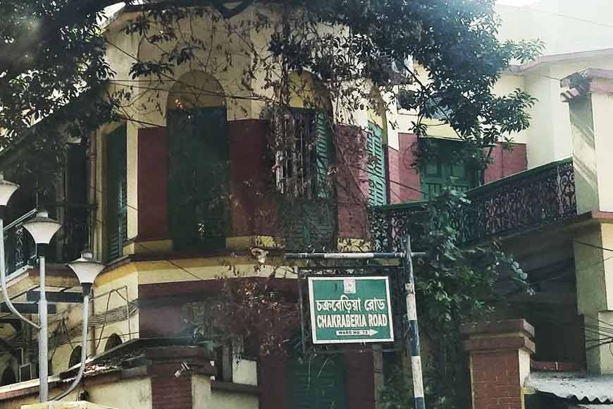
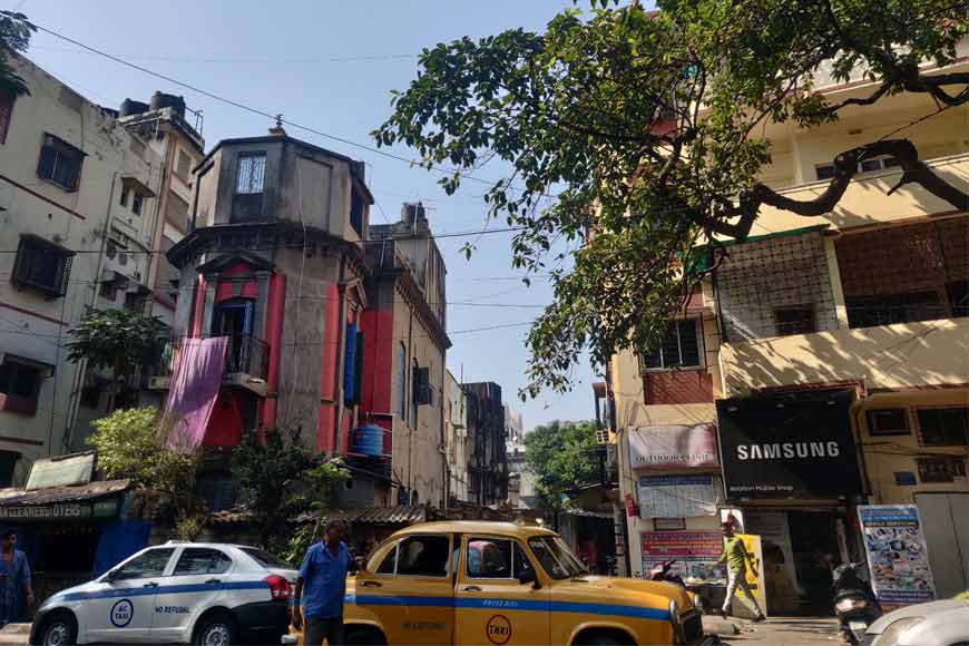
Today Chakraberia has a new look. Particularly over the last 2-3 decades many old buildings and colonial structures have been razed down to give way to apartments, especially for the upwardly mobile urban population of Calcutta. From hospitals to schools to new architectural buildings, it is hard to relate Chakraberia to the British Calcutta dihi, that it was once upon a time. Along Chakraberia Road most of the colonial buildings and structures are missing. Once upon a time, this was the very road that was mentioned in many old documents including A. Upjohn’s ‘Map of Calcutta & its Environs’ of 1794, which is considered one of the earliest documented maps of the city. But in this map, the neighbourhood of Chakraberia is referred to as ‘DheeChuckerberh’ and covers a substantial portion of the city’s limits in the late 1700s. The ‘Dhee’ is in reference to Dihi, and definitely came from the term ‘DihiPanchannagram.’ One can still find this map in the collection of Victoria Memorial Hall Museum.
Historian P. Thankappan Nair in his book ‘A History of Calcutta’s Streets’ writes: “When the Company acquired DheeChuckerberh as part of DihiPanchannagram, the villages of Ballygunje, Gudsaha, Bhowanipore, and Chuckerberh were incorporated within this dihi, indicative of its massive size and why it is shown to cover a substantial portion of Calcutta’s city limits in A. Upjohn’s 1794 map of Calcutta. Locals believe the name ‘Chuckerberh’ might have come from a sweet fruit named Indian jujube, which probably grew in this area in abundance in the past.
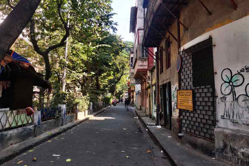
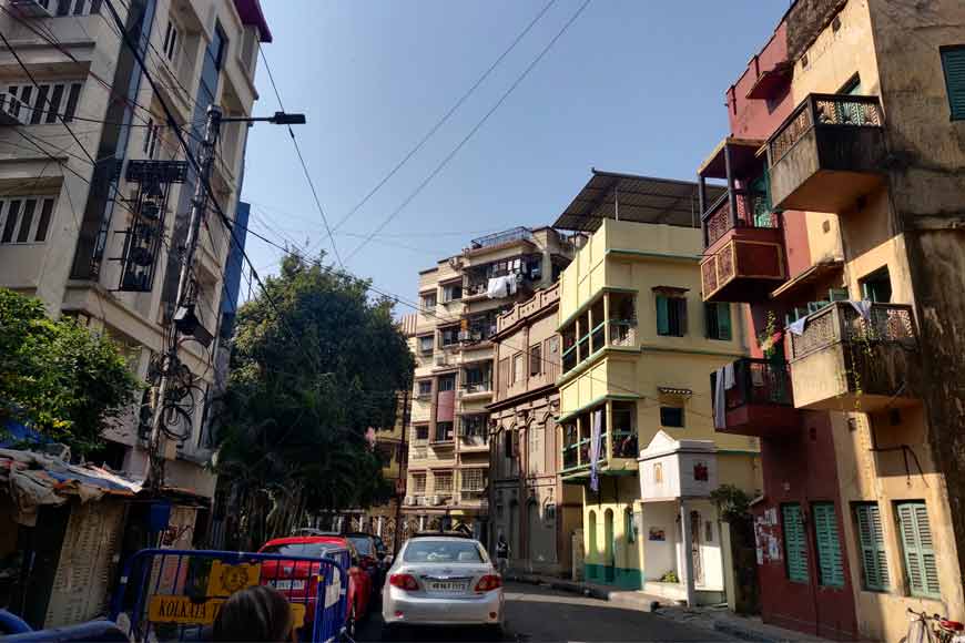
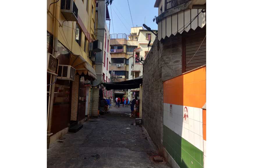
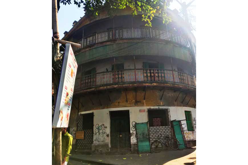
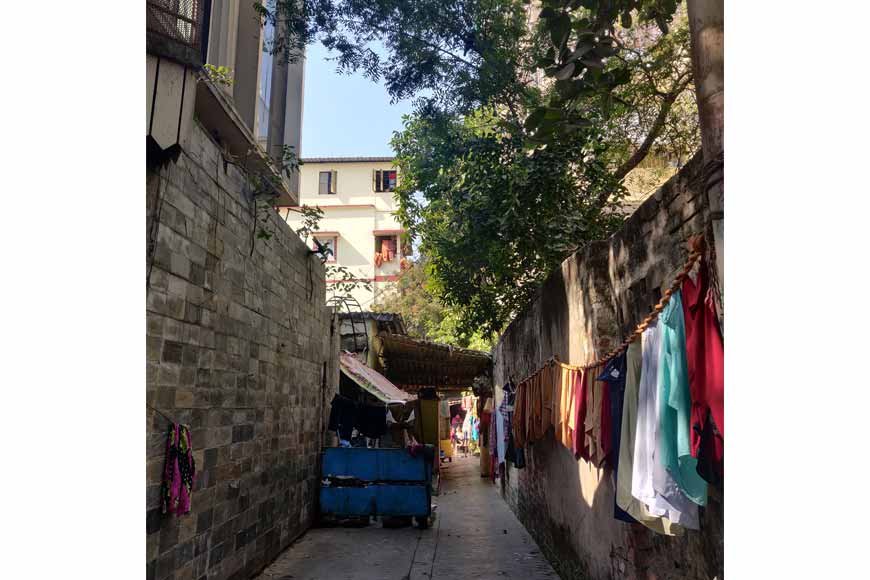
Today, Chakraberia Road is primarily residential with different communities residing in harmony including Bengalis, Gujarati, and Marwaris. A handful of old residential buildings still exist. A narrow bylane called Nafar Kundu Road in southern Chakraberia still is steeped in history, commemorating the man after whom the bylane is named, Nafar Kundu, for his immense public service in 1907. A marble plaque is also present that reads: “To the memory of Nafar Chandra Kundu who lost his life in a gallant attempt to rescue two Mahomedan coolies from the manhole opposite. He was a member of the Entally Ramakrishna Mission, whose life was devoted to doing good to others, irrespective of caste, creed, or colour. This monument is erected by his admirers, European and Indian, by public subscription.” In 1924, the bylane in commemoration of Kundu’s public service was renamed.